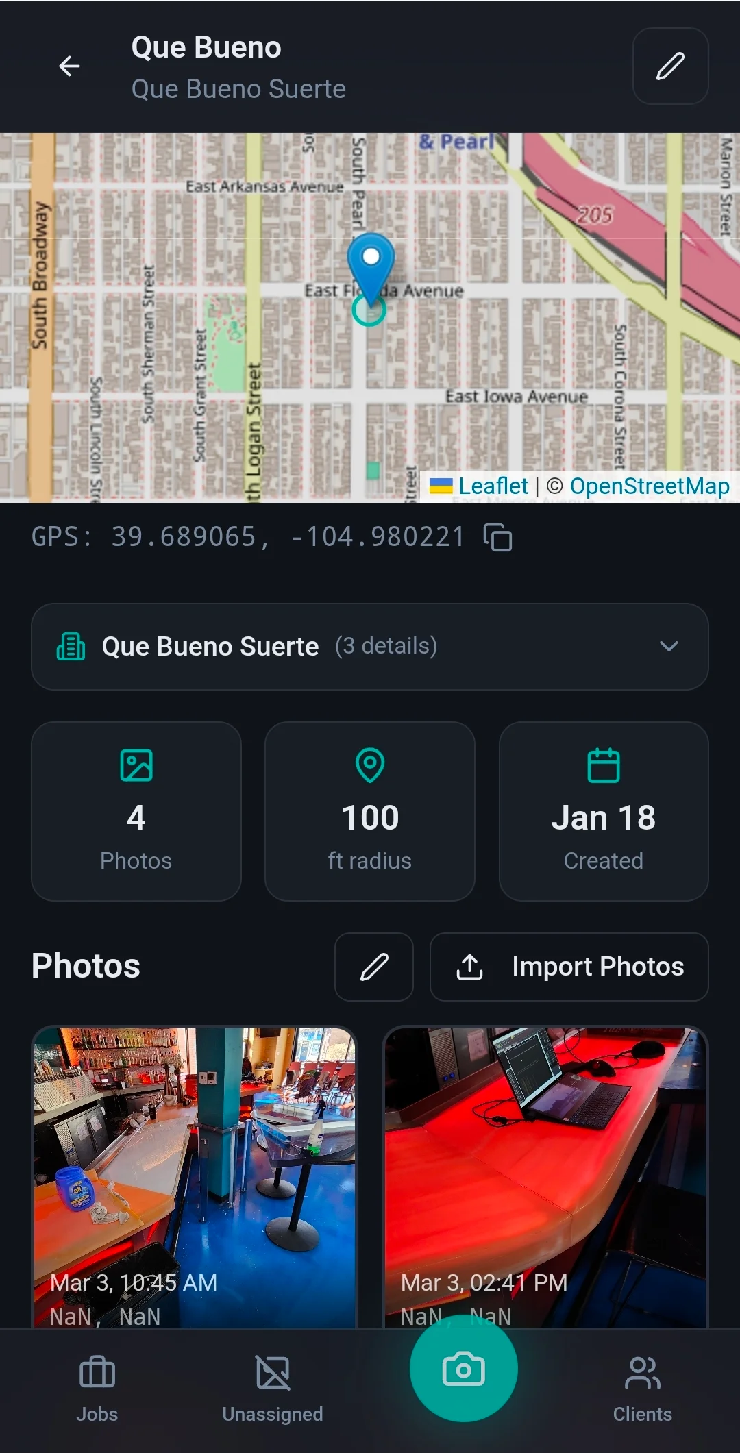
A day on site leaves two hundred photos in one camera roll. This reads the GPS tag and files each one under the job it was shot at.
About the project
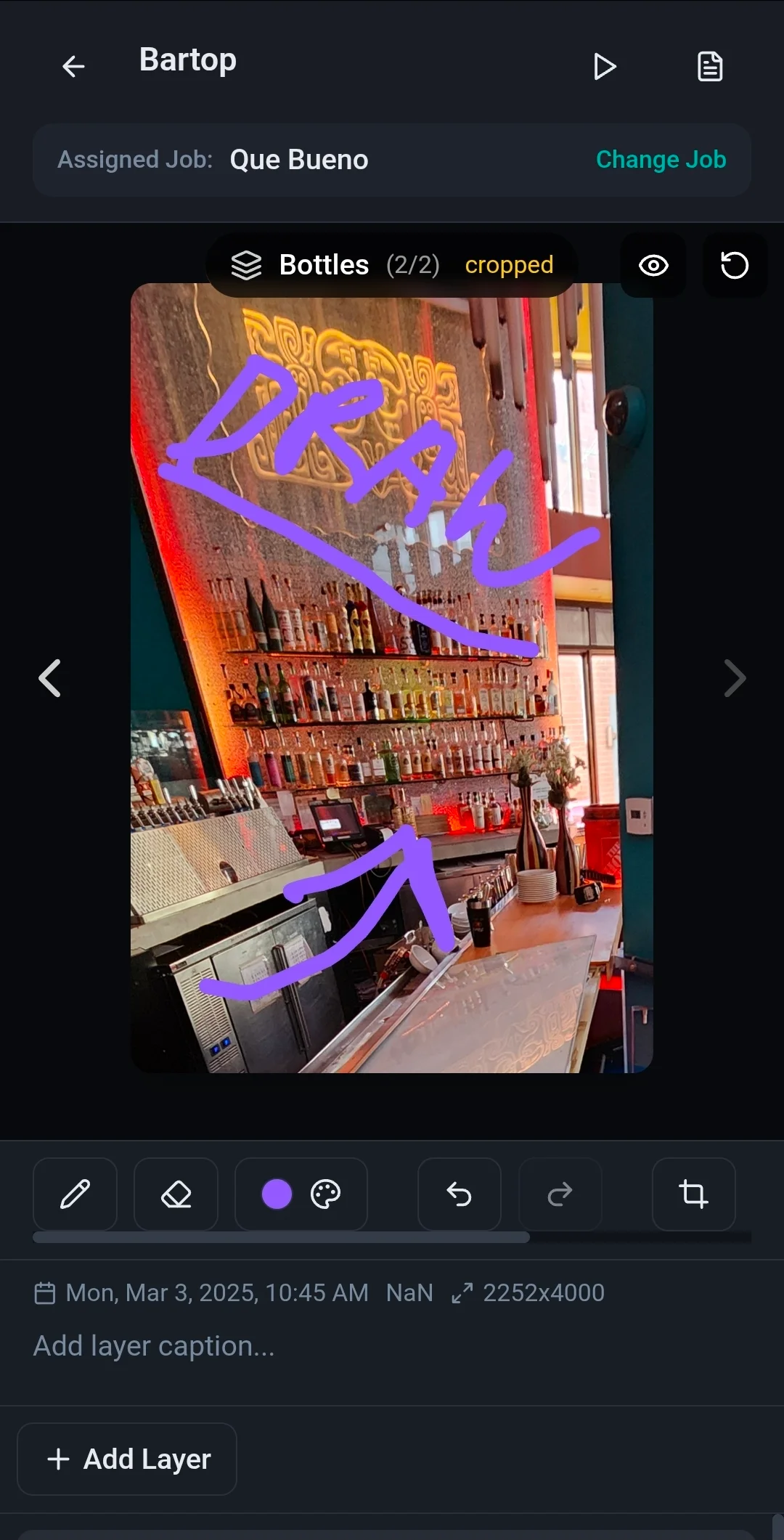
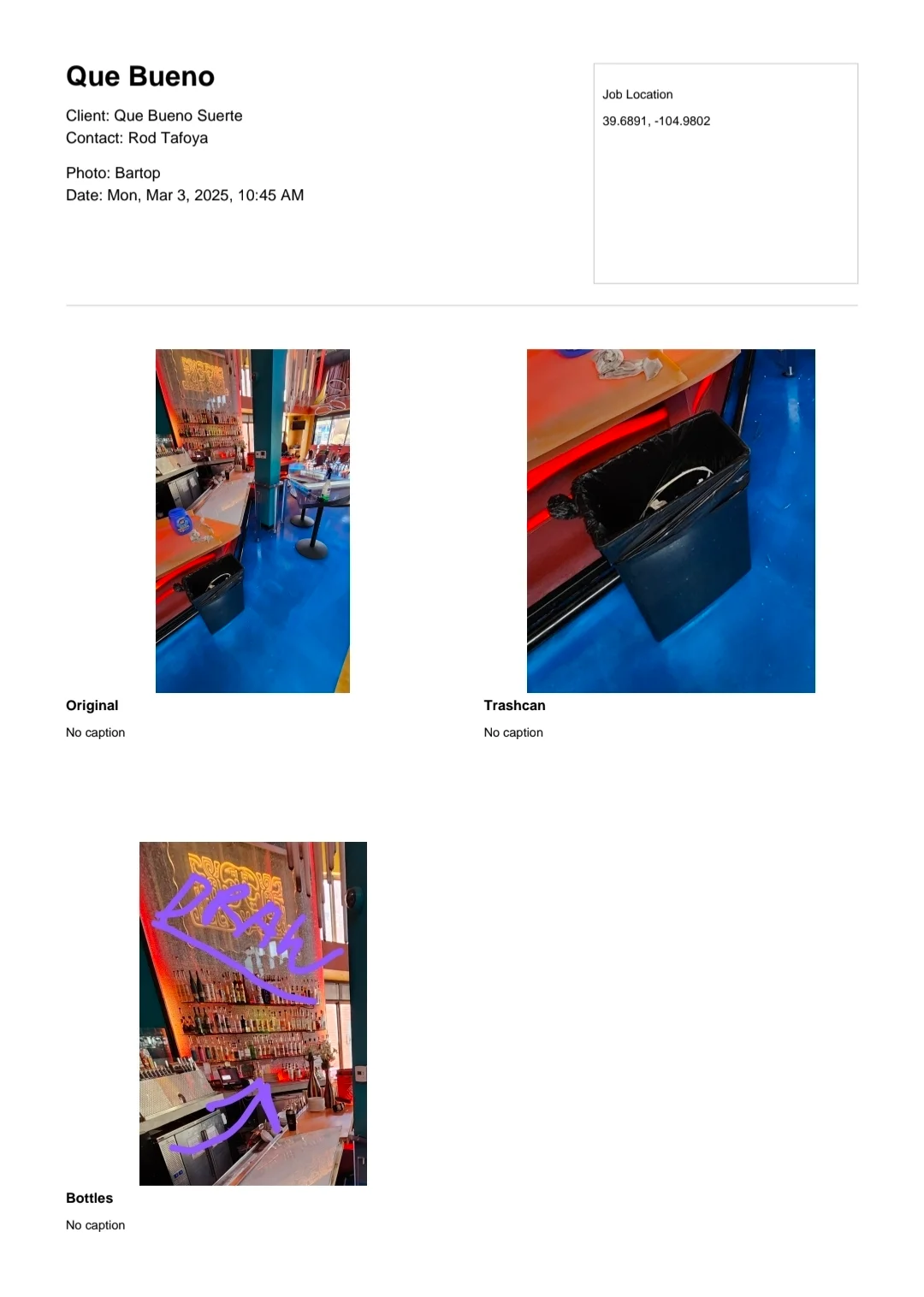
For a few years I was doing lighting installs and maintenance all over the Denver metro area, and my phone was the job file. Reference photos, shots of patch lists, pages of manuals, and a lot of wiring sketches drawn right on top of the photos. All of it dumped into one camera roll, and I never took the time to sort it. Finding the patch list from a site three weeks ago meant scrolling.
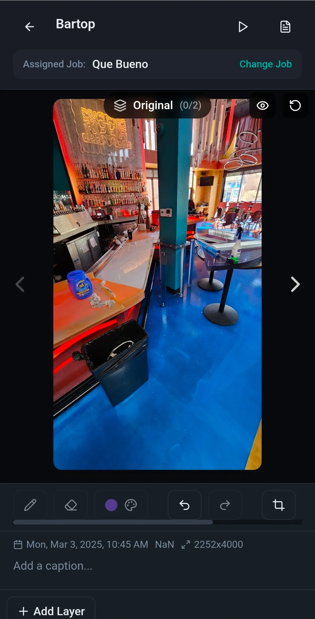
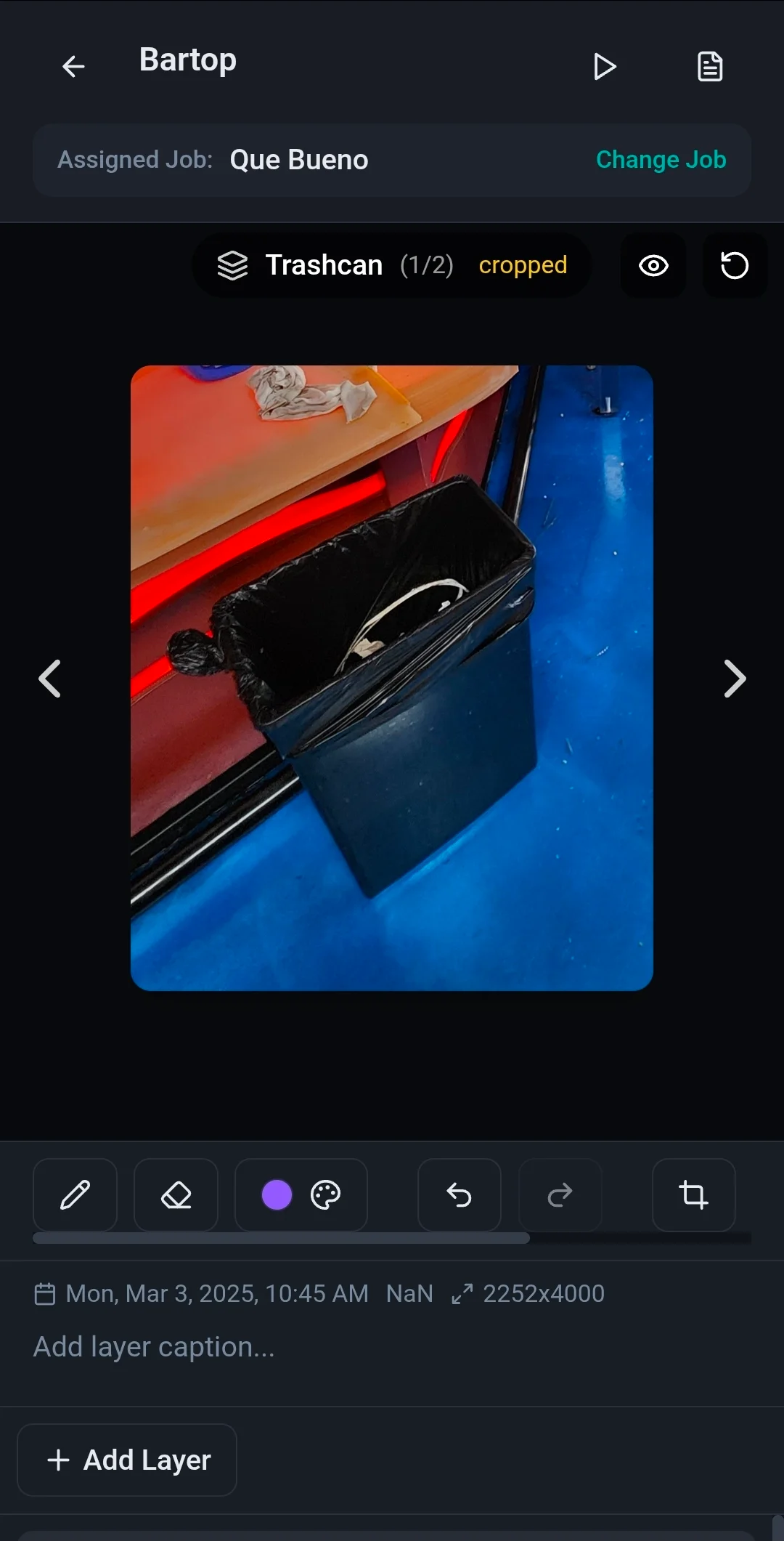
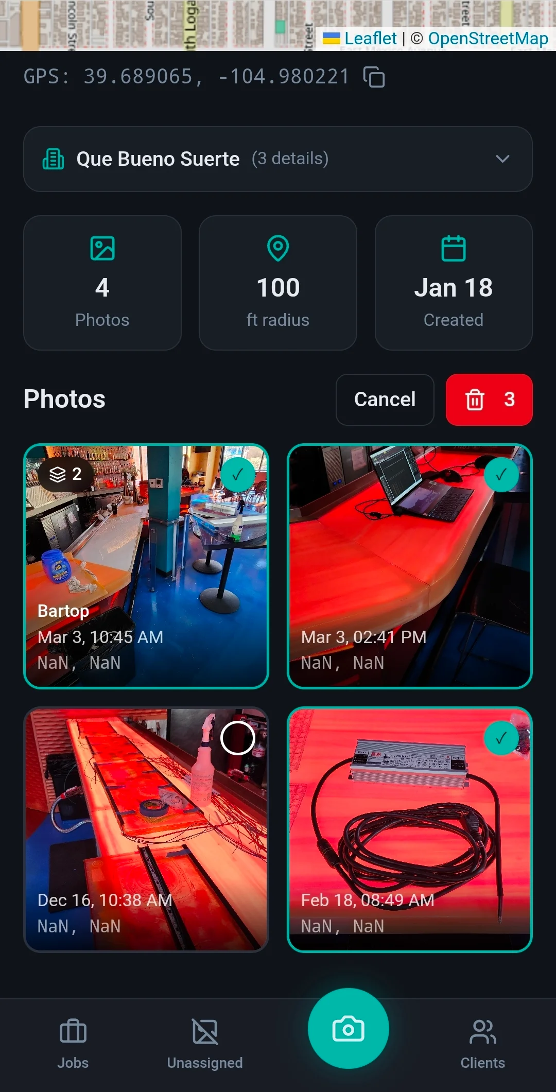
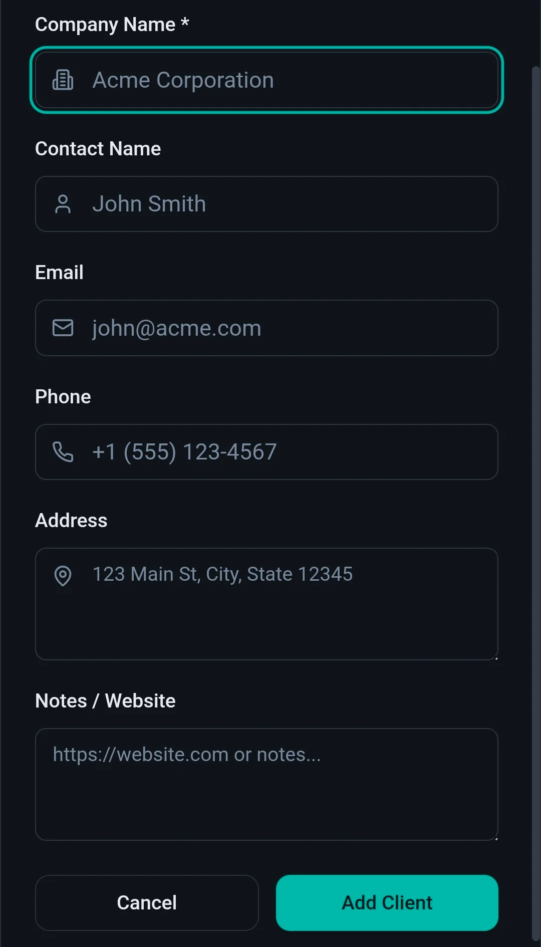
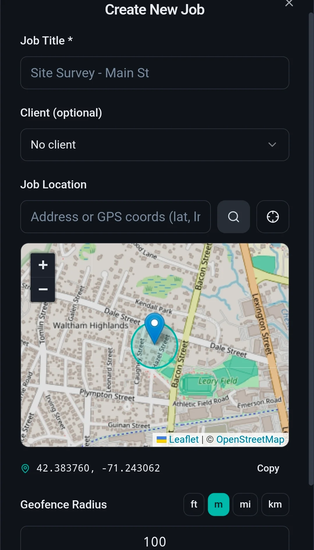
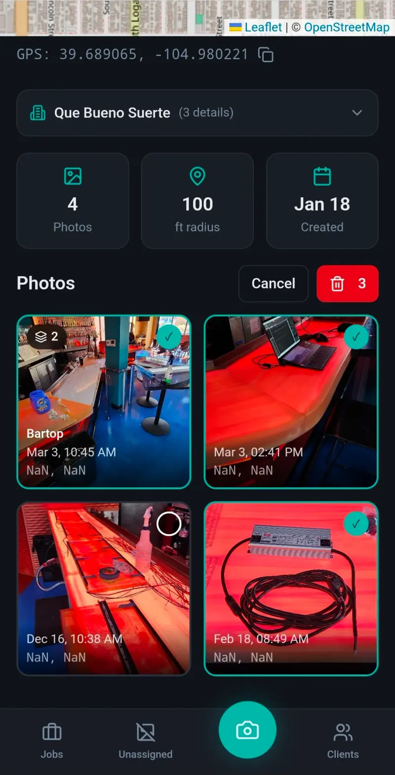
GeoLens Pro sorts by where you were standing. Each project gets a geofence on a map. Import a batch of photos, or take them live, and the app reads the GPS tag from each one and checks it against every active boundary. If it lands inside one, it files straight to that job. Anything that misses drops into a bin for manual sorting. I added a canvas editor so the wiring notes I was already scribbling could go on the image inside the app instead of in a separate markup tool.
I prototyped it on Lovable with everything stored locally in the browser. Then I left contract work before it saw a full season, so it never got the real-world run it was built for. Of everything here, it is the one that most needs a job site to prove itself on.
- React
- TypeScript
- REST APIs
Gallery